
Seven-day coastal signals, without the hardware.
Thermal stress, bloom risk, runoff shock, operability and growing conditions for every site you run, from Copernicus satellites and models, Marine Institute buoys and the records you already keep. Every answer cites the data behind it.
Gearhies mussel longlines
Bantry Bay · example profile on real Copernicus, ECMWF and buoy data
You asked: Can we work the longlines on Thursday?
Thursday is unfavourable for longline work: the wave model forecasts 3.4 m significant wave height at Gearhies against your 1.5 m limit. Friday is marginal. IBI waves · Thu 06:00
An example farm profile on real data. The live app is updated every morning.
Each signal rated for the work you do, with its reasons.
Conditions are favourable, marginal or unfavourable for a named activity. Never a safety or food-safety verdict: for shellfish closures, the official bulletin decides.
Operability window
Wave height, forecast wind and predicted tide against your own activity limits. Six-hourly bins for five days and a daily roll-up.
Ports, tourism, all farms
Thermal stress
Model sea temperature, bias-corrected by your logger where you have one, against species thresholds and a 1993 to 2022 climatology. Days to each threshold and marine heatwave events.
Shellfish, seaweed
Bloom and water-quality risk
Chlorophyll anomaly, stratification, calm days, catchment rain and bulletin history in a 0 to 100 index with its three drivers. Always flagged regional, bay not verified.
Shellfish, seaweed, tourism
Runoff shock
Surface salinity, catchment rain and Sentinel-2 turbidity. A salinity-drop and heavy-rain alert, confirmed from orbit when a clear scene exists.
Oysters, mussels, seaweed
Growing conditions
Light, temperature optimum, nitrate and day length in a 0 to 1 favourability index with a season-stage label.
Seaweed, shellfish
Model skill, scored nightly
Every night the regional model is scored against the buoy and your logger: bias, error, paired days. That score caps the confidence of all five signals above.
The honesty layer
Sky, sea and farm, turned into five answers you can act on.
Gather, every morning
Forecasts, buoys and ocean colour daily; ERA5, Sentinel-2 and the HAB bulletin weekly. Each is matched to your site's location and depth.
One shared language
A PostGIS store and a Neo4j knowledge graph with a formal ontology, so a buoy, a satellite and your own logger answer the same question.
Your records, your limits
Harvest and mortality CSVs, a cheap temperature logger, diary notes and photos corroborate or contradict the model. You add nothing else.
Five answers, each cited
A map-first app, a weekly brief, and a grounded assistant whose every answer carries a citation chip that opens the data behind it.
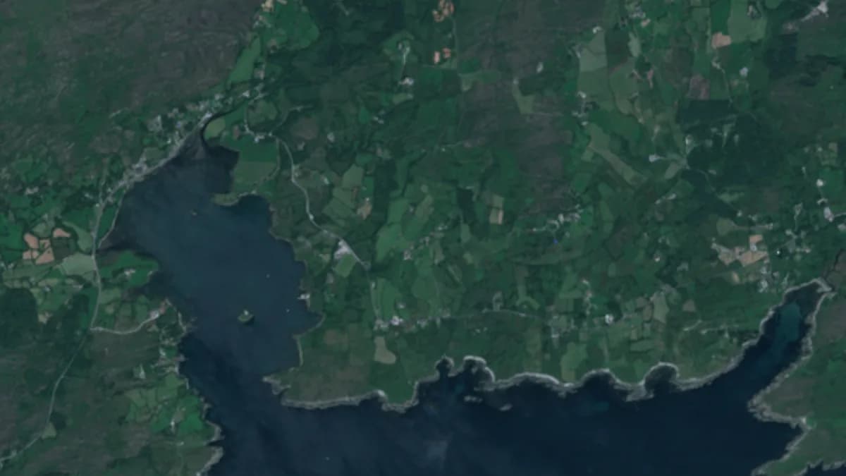
Seen from orbit
The farm as the satellite sees it.
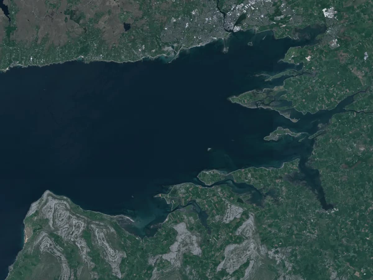
Rope-mussel longlines at Adrigole Harbour on a clear day in July, in the same 10 m Sentinel-2 scenes the product reads for turbidity after rain and for kelp lines at low tide. No camera on the farm, no sensor in the water.
One service, read four ways.
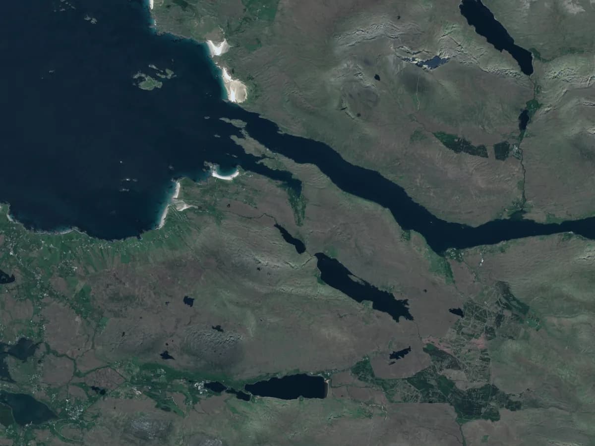
Shellfish growers
Mussel longlines and oyster trestles: thermal stress at stock depth, runoff after rain, and whether the week's work windows look favourable.
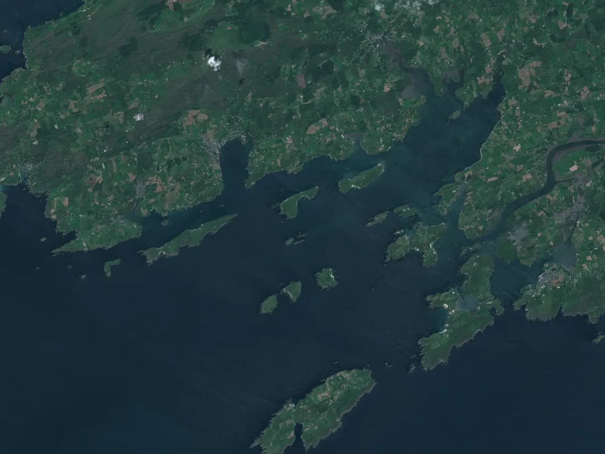
Seaweed farmers
Kelp growing conditions through the season, light and nutrients against climatology, and low-tide satellite checks of the lines.
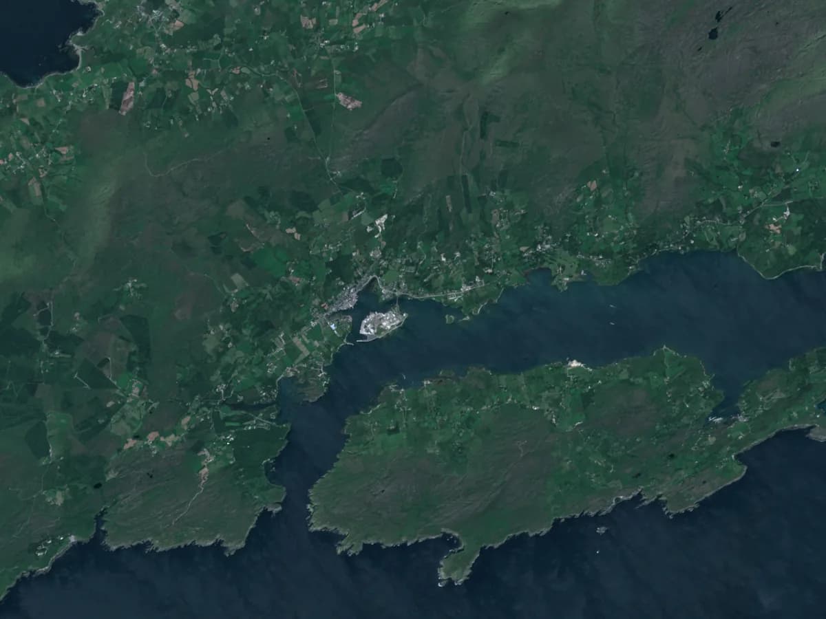
Ports and tourism
Operability for harbour movements, boat trips and pier work from forecast waves, wind and tide. A two-week trial with your own limits.
Agencies and insurers
Scoped, audited, read-only access to bay-level signals, skill tables and event history, never an operator's records without consent.
Honest about what a model knows.
The product is built to the EU AI Act: an AI literacy page for every user, an AI notice on every assistant answer, and a model card that states the limits.
Favourable, marginal or unfavourable. Never the word safe. The operator's own observation on the day takes precedence, and shellfish closures belong to the official bulletin.
Skill is measured, not assumed. The model describes an area of about 3 km. Its skill is scored nightly against the buoy and shown next to every signal.
Real data only. No invented farm records, ever. Personal data is redacted before any text reaches an AI provider, and keys are never logged.
Open, attributed data. Copernicus, ECMWF and Marine Institute licences are honoured in full, on the page and in every export.
A pilot for growers. A trial for harbours.
Nothing is charged at application. A person reviews every application, and billing starts later.
EUR 9 per site per month, locked in until 31 March 2027.
Ninety percent off the standard EUR 90 per site per month that applies from 1 April 2027. Prices exclude VAT. The pilot price is locked in for approved applicants.
A free two-week operability trial, with your own limits.
One email, one thirty-minute call to set your wave, wind and tide limits, a login the same day. At day fourteen we read the hit and miss table of our windows against your log, together.
Read how it was built in the Coastal Intelligence case study. Every Irish bay is ingested today, and European bays are coming soon.
Imagery: real Copernicus Sentinel-2 scenes of named Irish coastal places, free and open under the Sentinel Data Legal Notice, each shown with its attribution line. Scenes are colour-graded to this palette; nothing is drawn into the pixels.
Run a bay, a harbour, or a portfolio of sites?
Book a short call and we will walk through the live product on your own coastline.
- Developed in Ireland
- EU hosted
- Open, attributed data